Eleven Oak Mead
Introduction
The photograph on this page of Eleven Oak Mead by Simon Carey as part of the Geograph project.
The Geograph project started in 2005 with the aim of publishing, organising and preserving representative images for every square kilometre of Great Britain, Ireland and the Isle of Man.

There are currently over 7.5m images from over 14,400 individuals and you can help contribute to the project by visiting https://www.geograph.org.uk
Eleven Oak Mead
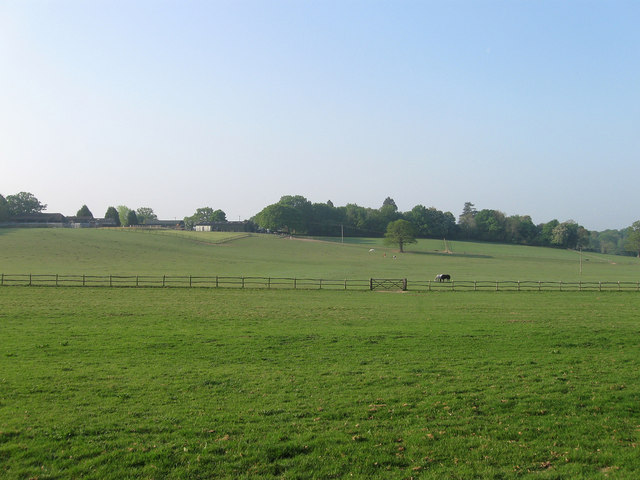
Image: © Simon Carey Taken: 24 Apr 2011
The name of the field according to Chailey's 1838 tithe map viewed from Beggar's Wood Road, the B2183. The field beyond the wooden fence is Button's Mead whilst on the ridge is Bineham Farm.
Images are licensed for reuse under creativecommons.org/licenses/by-sa/2.0
Image Location
Latitude
50.966186
Longitude
-0.022871