Moulton College Land
Introduction
The photograph on this page of Moulton College Land by Kokai as part of the Geograph project.
The Geograph project started in 2005 with the aim of publishing, organising and preserving representative images for every square kilometre of Great Britain, Ireland and the Isle of Man.

There are currently over 7.5m images from over 14,400 individuals and you can help contribute to the project by visiting https://www.geograph.org.uk
Moulton College Land
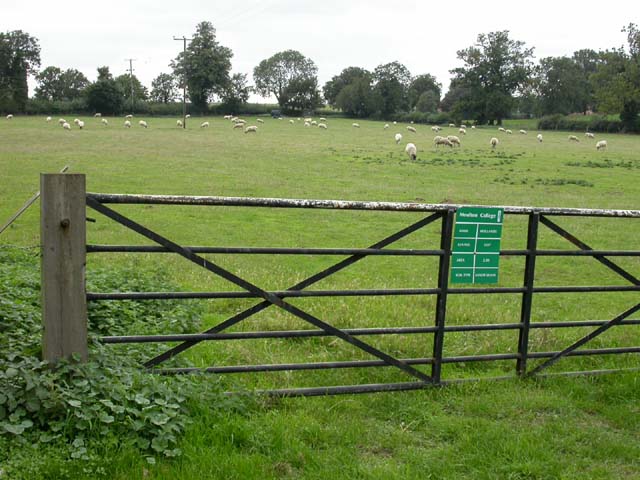
Image: © Kokai Taken: 6 Sep 2006
The green notice provides information that the name of the area is Hollands and that the soil type is sandy loam. The land appears to be currently in use for training in sheep farming.
Images are licensed for reuse under creativecommons.org/licenses/by-sa/2.0
Image Location
Latitude
52.298087
Longitude
-0.863794