Rainham Wharf
Introduction
The photograph on this page of Rainham Wharf by Robin Webster as part of the Geograph project.
The Geograph project started in 2005 with the aim of publishing, organising and preserving representative images for every square kilometre of Great Britain, Ireland and the Isle of Man.

There are currently over 7.5m images from over 14,400 individuals and you can help contribute to the project by visiting https://www.geograph.org.uk
Rainham Wharf
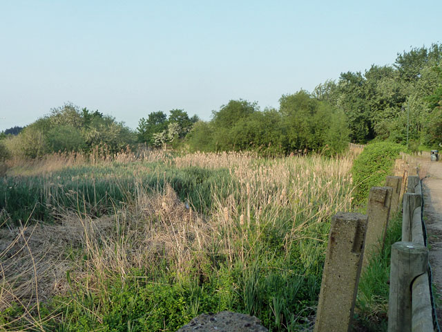
Image: © Robin Webster Taken: 24 Apr 2011
Used commercially up to 1929, it is now partly a tiny public open space (to the right). It will never be used again, as the mouth of Rainham Creek has been dammed.
Images are licensed for reuse under creativecommons.org/licenses/by-sa/2.0
Image Location
Latitude
51.518563
Longitude
0.188343