Pylons and Footpath Marker
Introduction
The photograph on this page of Pylons and Footpath Marker by Martin Addison as part of the Geograph project.
The Geograph project started in 2005 with the aim of publishing, organising and preserving representative images for every square kilometre of Great Britain, Ireland and the Isle of Man.

There are currently over 7.5m images from over 14,400 individuals and you can help contribute to the project by visiting https://www.geograph.org.uk
Pylons and Footpath Marker
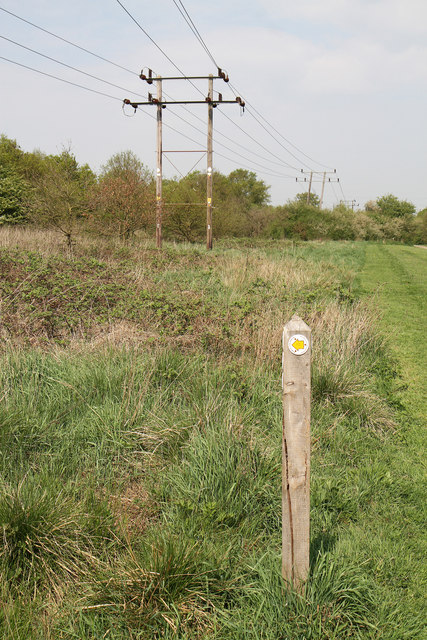
Image: © Martin Addison Taken: 21 Apr 2011
Beside the Watling Chase Timberland Trail, these low voltage powerlines parallel the Midland Main Line from an electricity substation to the western outskirts of Borehamwood. The footpath marker in the foreground indicates a path leading across Watling Chase onto Elstree Golf Course and its clubhouse.
Images are licensed for reuse under creativecommons.org/licenses/by-sa/2.0
Image Location
Latitude
51.661254
Longitude
-0.290139