Battlesbury iron age hillfort, Salisbury Plain
Introduction
The photograph on this page of Battlesbury iron age hillfort, Salisbury Plain by David Hawgood as part of the Geograph project.
The Geograph project started in 2005 with the aim of publishing, organising and preserving representative images for every square kilometre of Great Britain, Ireland and the Isle of Man.

There are currently over 7.5m images from over 14,400 individuals and you can help contribute to the project by visiting https://www.geograph.org.uk
Battlesbury iron age hillfort, Salisbury Plain
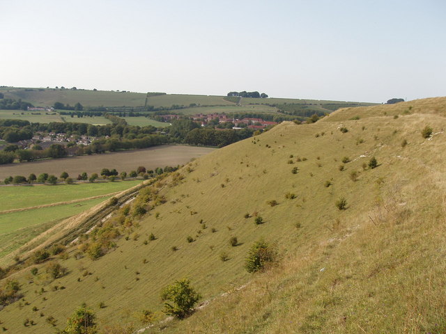
Image: © David Hawgood Taken: 10 Sep 2006
This is the steep natural western slope of Battlesbury Hill, with iron age earth walls and ditches at the top. View from the fort walls on the south-west side. Photo taken during a Heritage Open Days walk with a Ministry of Defence archaeologist - but there is always public access by paths to this hill on the edge of the military training area.
Images are licensed for reuse under creativecommons.org/licenses/by-sa/2.0
Image Location
Latitude
51.210407
Longitude
-2.151696