Cuckolds Row, Spaxton
Introduction
The photograph on this page of Cuckolds Row, Spaxton by Derek Harper as part of the Geograph project.
The Geograph project started in 2005 with the aim of publishing, organising and preserving representative images for every square kilometre of Great Britain, Ireland and the Isle of Man.

There are currently over 7.5m images from over 14,400 individuals and you can help contribute to the project by visiting https://www.geograph.org.uk
Cuckolds Row, Spaxton
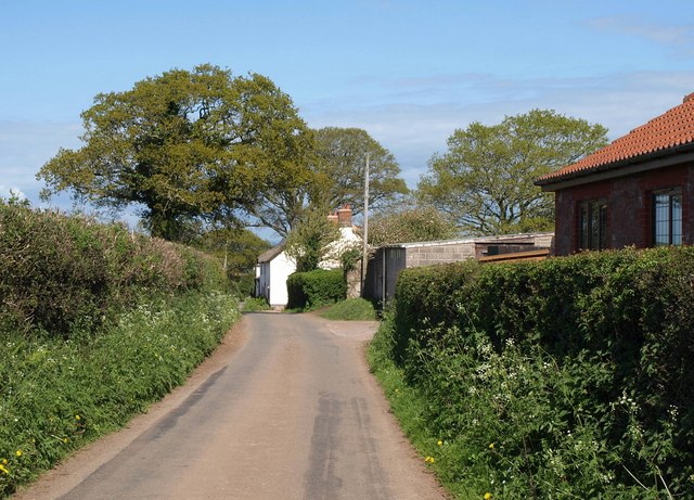
Image: © Derek Harper Taken: 16 Apr 2011
Now why is it called that? In the background is Image On the right is Seven Oks, mapped as a factory.
Images are licensed for reuse under creativecommons.org/licenses/by-sa/2.0
Image Location
Latitude
51.13414
Longitude
-3.116171