Caterham: Road junction at the top of Waller Lane
Introduction
The photograph on this page of Caterham: Road junction at the top of Waller Lane by Dr Neil Clifton as part of the Geograph project.
The Geograph project started in 2005 with the aim of publishing, organising and preserving representative images for every square kilometre of Great Britain, Ireland and the Isle of Man.

There are currently over 7.5m images from over 14,400 individuals and you can help contribute to the project by visiting https://www.geograph.org.uk
Caterham: Road junction at the top of Waller Lane
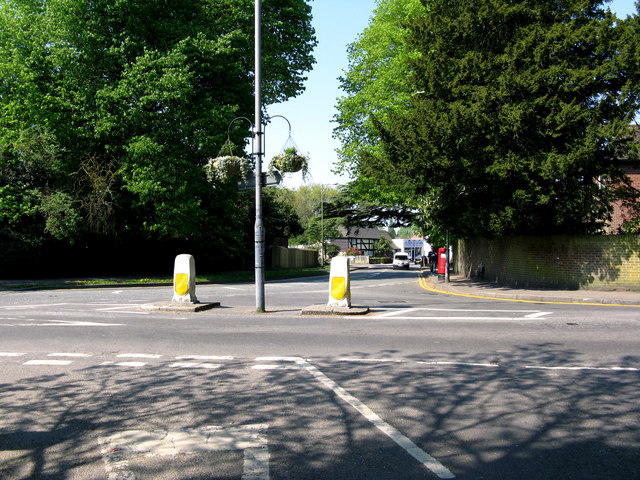
Image: © Dr Neil Clifton Taken: 21 Apr 2011
The photographer stands in the mouth of Waller Lane. Straight in front is High Street; to the left, Church Road; and to the right, Whyteleafe Road
Images are licensed for reuse under creativecommons.org/licenses/by-sa/2.0
Image Location
Latitude
51.284062
Longitude
-0.085827