Ashley Drive
Introduction
The photograph on this page of Ashley Drive by Martin Addison as part of the Geograph project.
The Geograph project started in 2005 with the aim of publishing, organising and preserving representative images for every square kilometre of Great Britain, Ireland and the Isle of Man.

There are currently over 7.5m images from over 14,400 individuals and you can help contribute to the project by visiting https://www.geograph.org.uk
Ashley Drive
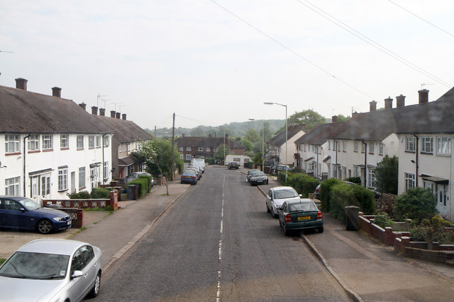
Image: © Martin Addison Taken: 21 Apr 2011
Main route through a housing estate in the southeast corner of Borehamwood - seen from the top deck of a 107 bus routing from New Barnet to Edgware.
Images are licensed for reuse under creativecommons.org/licenses/by-sa/2.0
Image Location
Latitude
51.647611
Longitude
-0.257031