Bridges at Cannington
Introduction
The photograph on this page of Bridges at Cannington by Derek Harper as part of the Geograph project.
The Geograph project started in 2005 with the aim of publishing, organising and preserving representative images for every square kilometre of Great Britain, Ireland and the Isle of Man.

There are currently over 7.5m images from over 14,400 individuals and you can help contribute to the project by visiting https://www.geograph.org.uk
Bridges at Cannington
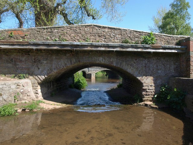
Image: © Derek Harper Taken: 16 Apr 2011
Two of three bridges within 70 metres along the Cannington Brook, existing bridges being replaced by a newer one further downstream. This is Brook Bridge, with Cannington Bridge (see Image) visible beyond.
Images are licensed for reuse under creativecommons.org/licenses/by-sa/2.0
Image Location


Leaflet Map data © OpenStreetMap
Latitude
51.148858
Longitude
-3.061482