Washford River, upstream from Mill Street road bridge
Introduction
The photograph on this page of Washford River, upstream from Mill Street road bridge by Rose and Trev Clough as part of the Geograph project.
The Geograph project started in 2005 with the aim of publishing, organising and preserving representative images for every square kilometre of Great Britain, Ireland and the Isle of Man.

There are currently over 7.5m images from over 14,400 individuals and you can help contribute to the project by visiting https://www.geograph.org.uk
Washford River, upstream from Mill Street road bridge
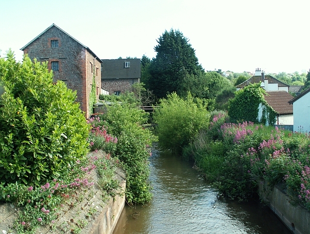
Image: © Rose and Trev Clough Taken: 17 May 2007
The buildings on the left were originally Stoate's Flour Mill, dating from the 19th century.
Images are licensed for reuse under creativecommons.org/licenses/by-sa/2.0
Image Location


Leaflet Map data © OpenStreetMap
Latitude
51.181156
Longitude
-3.332345