Southern boundary of Talywain
Introduction
The photograph on this page of Southern boundary of Talywain by Jaggery as part of the Geograph project.
The Geograph project started in 2005 with the aim of publishing, organising and preserving representative images for every square kilometre of Great Britain, Ireland and the Isle of Man.

There are currently over 7.5m images from over 14,400 individuals and you can help contribute to the project by visiting https://www.geograph.org.uk
Southern boundary of Talywain
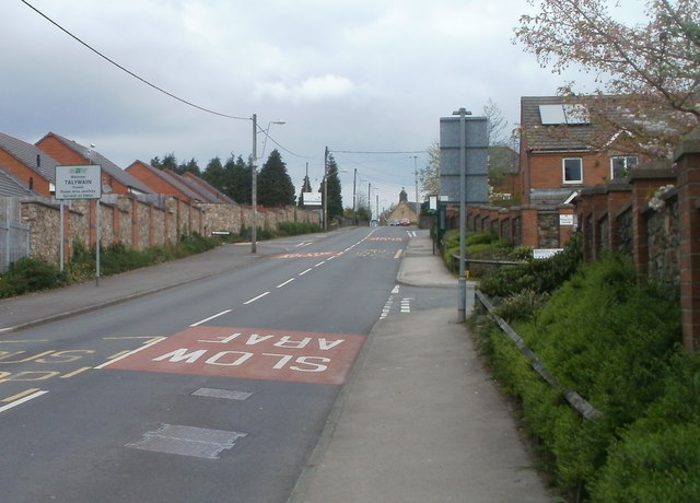
Image: © Jaggery Taken: 16 Apr 2011
The B4246 leaves Abersychan and enters Talywain opposite the turning for British School Close. http://www.geograph.org.uk/photo/2372048 UPDATE In September 2015, Talywain's southern boundary signs http://www.geograph.org.uk/photo/4681559 are more than 100 metres further south.
Images are licensed for reuse under creativecommons.org/licenses/by-sa/2.0
Image Location
Latitude
51.727127
Longitude
-3.071356