Wychwood
Introduction
The photograph on this page of Wychwood by Simon Carey as part of the Geograph project.
The Geograph project started in 2005 with the aim of publishing, organising and preserving representative images for every square kilometre of Great Britain, Ireland and the Isle of Man.

There are currently over 7.5m images from over 14,400 individuals and you can help contribute to the project by visiting https://www.geograph.org.uk
Wychwood
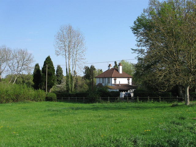
Image: © Simon Carey Taken: 20 Apr 2011
The name of the house that was built in the early 1920s on the former Theobalds estate that had been sold in lots to smallholders in 1920 having failed to find a buyer for the whole farm. The houses were often built by those who had purchased the land and were marketed towards discharged World War One servicemen.
Images are licensed for reuse under creativecommons.org/licenses/by-sa/2.0
Image Location
Latitude
50.975154
Longitude
-0.102688