Bellamarsh Barton
Introduction
The photograph on this page of Bellamarsh Barton by David Smith as part of the Geograph project.
The Geograph project started in 2005 with the aim of publishing, organising and preserving representative images for every square kilometre of Great Britain, Ireland and the Isle of Man.

There are currently over 7.5m images from over 14,400 individuals and you can help contribute to the project by visiting https://www.geograph.org.uk
Bellamarsh Barton
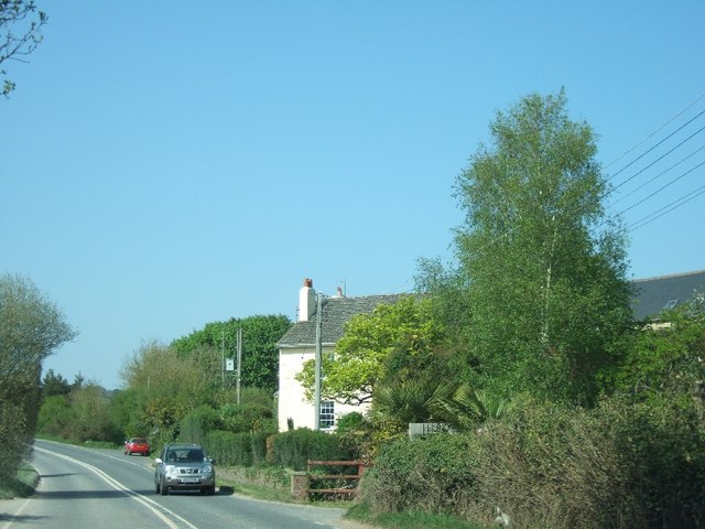
Image: © David Smith Taken: 21 Apr 2011
The B3193 now curves to the left to cross the A38. Formerly the road curved to the right, along a track just beyond the red car.
Images are licensed for reuse under creativecommons.org/licenses/by-sa/2.0
Image Location
Latitude
50.584042
Longitude
-3.621805