Laurel Farmhouse and Pond
Introduction
The photograph on this page of Laurel Farmhouse and Pond by Martin Addison as part of the Geograph project.
The Geograph project started in 2005 with the aim of publishing, organising and preserving representative images for every square kilometre of Great Britain, Ireland and the Isle of Man.

There are currently over 7.5m images from over 14,400 individuals and you can help contribute to the project by visiting https://www.geograph.org.uk
Laurel Farmhouse and Pond
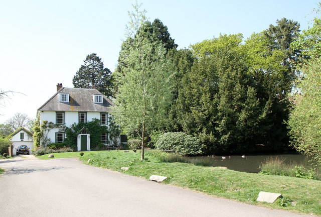
Image: © Martin Addison Taken: 19 Apr 2011
The farmhouse looks very much given over to residential use these days. Much of the area of farmland behind looks to have been given up to a nature reserve, forming part of London's Greenbelt.
Images are licensed for reuse under creativecommons.org/licenses/by-sa/2.0
Image Location
Latitude
51.625136
Longitude
-0.194873