Laurel Farm Pond
Introduction
The photograph on this page of Laurel Farm Pond by Martin Addison as part of the Geograph project.
The Geograph project started in 2005 with the aim of publishing, organising and preserving representative images for every square kilometre of Great Britain, Ireland and the Isle of Man.

There are currently over 7.5m images from over 14,400 individuals and you can help contribute to the project by visiting https://www.geograph.org.uk
Laurel Farm Pond
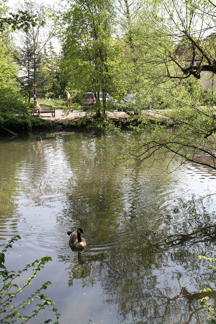
Image: © Martin Addison Taken: 19 Apr 2011
A Canada Goose comes towards me in the hope that I may be about to throw in some bread - he's out of luck.
Images are licensed for reuse under creativecommons.org/licenses/by-sa/2.0
Image Location
Latitude
51.625346
Longitude
-0.194532