Moggs Mead Petersfield
Introduction
The photograph on this page of Moggs Mead Petersfield by Martyn Pattison as part of the Geograph project.
The Geograph project started in 2005 with the aim of publishing, organising and preserving representative images for every square kilometre of Great Britain, Ireland and the Isle of Man.

There are currently over 7.5m images from over 14,400 individuals and you can help contribute to the project by visiting https://www.geograph.org.uk
Moggs Mead Petersfield
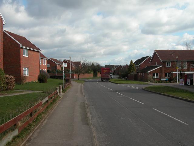
Image: © Martyn Pattison Taken: 12 Mar 2005
This grid largely consists of residential areas to the East of Petersfield town. The small tree opposite the Post Office truck is almost exactly at grid centre.
Images are licensed for reuse under creativecommons.org/licenses/by-sa/2.0
Image Location


Leaflet Map data © OpenStreetMap
Latitude
51.005941
Longitude
-0.925291