View from Killinakin
Introduction
The photograph on this page of View from Killinakin by Rossographer as part of the Geograph project.
The Geograph project started in 2005 with the aim of publishing, organising and preserving representative images for every square kilometre of Great Britain, Ireland and the Isle of Man.

There are currently over 7.5m images from over 14,400 individuals and you can help contribute to the project by visiting https://www.geograph.org.uk
View from Killinakin
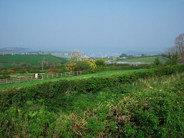
Image: © Rossographer Taken: 21 Apr 2011
The view north-east from Killinakin Triangulation Pillar Image Whiterock Bay and the yachts from Strangford Lough Yacht Club can be glimpsed through the haze.
Images are licensed for reuse under creativecommons.org/licenses/by-sa/2.0
Image Location
Latitude
54.480275
Longitude
-5.66086