Halfway Point, Ish.
Introduction
The photograph on this page of Halfway Point, Ish. by Martin Dawes as part of the Geograph project.
The Geograph project started in 2005 with the aim of publishing, organising and preserving representative images for every square kilometre of Great Britain, Ireland and the Isle of Man.

There are currently over 7.5m images from over 14,400 individuals and you can help contribute to the project by visiting https://www.geograph.org.uk
Halfway Point, Ish.
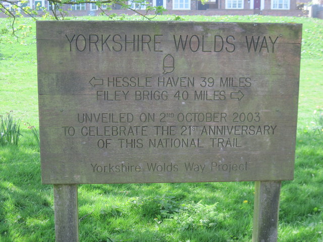
Image: © Martin Dawes Taken: 21 Apr 2010
The least walked of all the National Trails, it covers wonderful walking terrain but you rarely see many walkers.This board is by the duckpond at Fridaythorpe.
Images are licensed for reuse under creativecommons.org/licenses/by-sa/2.0
Image Location


Leaflet Map data © OpenStreetMap
Latitude
54.021221
Longitude
-0.666556