Cobbetts Mead, Lyoth Common
Introduction
The photograph on this page of Cobbetts Mead, Lyoth Common by Simon Carey as part of the Geograph project.
The Geograph project started in 2005 with the aim of publishing, organising and preserving representative images for every square kilometre of Great Britain, Ireland and the Isle of Man.

There are currently over 7.5m images from over 14,400 individuals and you can help contribute to the project by visiting https://www.geograph.org.uk
Cobbetts Mead, Lyoth Common
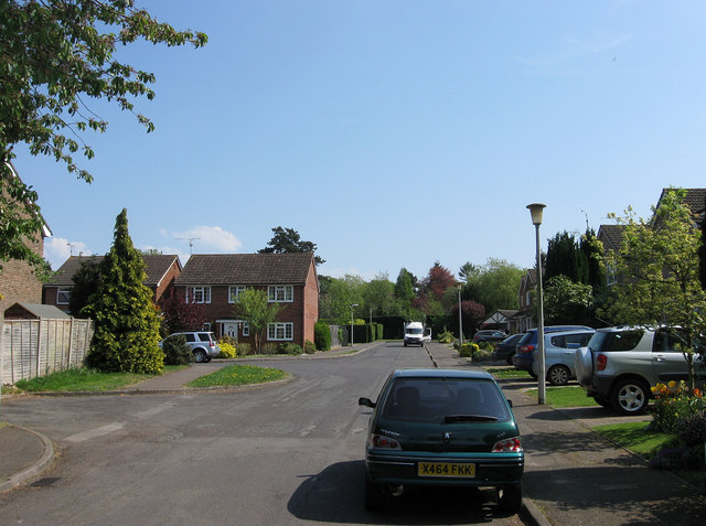
Image: © Simon Carey Taken: 20 Apr 2011
The name of the road in the foreground which begins at the junction of Charlesworth Park to the left with Orchid Park straight ahead. The latter are named after Charlesworth Nursery which occupied the site from the early 20th century to the 1950s and became well known for the cultivation of orchids. Prior to their arrival the area had been a common that was gradually encroached upon between the 17th and 19th centuries leaving only a narrow strip by the time of the 1843 tithe survey. Formerly a part of Wivelsfield parish this area was transferred to Haywards Heath in 1934.
Images are licensed for reuse under creativecommons.org/licenses/by-sa/2.0
Image Location
Latitude
50.995051
Longitude
-0.07651