Grassland east of Aldborough Mill
Introduction
The photograph on this page of Grassland east of Aldborough Mill by Robin Stott as part of the Geograph project.
The Geograph project started in 2005 with the aim of publishing, organising and preserving representative images for every square kilometre of Great Britain, Ireland and the Isle of Man.

There are currently over 7.5m images from over 14,400 individuals and you can help contribute to the project by visiting https://www.geograph.org.uk
Grassland east of Aldborough Mill
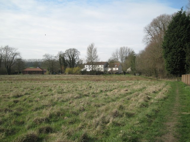
Image: © Robin Stott Taken: 20 Mar 2011
The property on the left, seen from the rear, is 'The Granary'.
Images are licensed for reuse under creativecommons.org/licenses/by-sa/2.0
Image Location
Latitude
52.858178
Longitude
1.245622