Hole Bottom Beck
Introduction
The photograph on this page of Hole Bottom Beck by Anonymous as part of the Geograph project.
The Geograph project started in 2005 with the aim of publishing, organising and preserving representative images for every square kilometre of Great Britain, Ireland and the Isle of Man.

There are currently over 7.5m images from over 14,400 individuals and you can help contribute to the project by visiting https://www.geograph.org.uk
Hole Bottom Beck
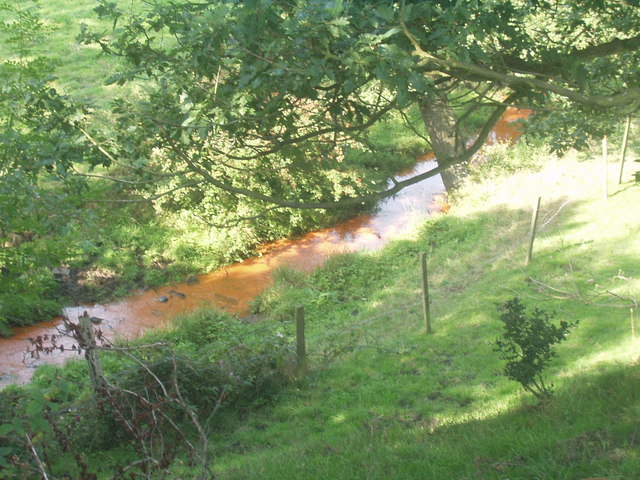
Image: © Anonymous Taken: 10 Sep 2006
Hole Bottom Beck, apparently running with tomato soup at this point on the "Bronte Way" between Clayton and Thornton.
Images are licensed for reuse under creativecommons.org/licenses/by-sa/2.0
Image Location


Leaflet Map data © OpenStreetMap
Latitude
53.785109
Longitude
-1.834532