Pitfield Lane in Harwood
Introduction
The photograph on this page of Pitfield Lane in Harwood by Phil Platt as part of the Geograph project.
The Geograph project started in 2005 with the aim of publishing, organising and preserving representative images for every square kilometre of Great Britain, Ireland and the Isle of Man.

There are currently over 7.5m images from over 14,400 individuals and you can help contribute to the project by visiting https://www.geograph.org.uk
Pitfield Lane in Harwood
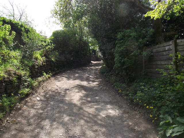
Image: © Phil Platt Taken: 20 Apr 2011
Originally a track leading to Pitfield Farm. Now the farmland has been appropriated for residential development. A right of way still exists from the farmhouse at the end of the lane onto a newer residential road.
Images are licensed for reuse under creativecommons.org/licenses/by-sa/2.0
Image Location
Latitude
53.599549
Longitude
-2.381202