Water management, Oudenarde
Introduction
The photograph on this page of Water management, Oudenarde by Rob Burke as part of the Geograph project.
The Geograph project started in 2005 with the aim of publishing, organising and preserving representative images for every square kilometre of Great Britain, Ireland and the Isle of Man.

There are currently over 7.5m images from over 14,400 individuals and you can help contribute to the project by visiting https://www.geograph.org.uk
Water management, Oudenarde
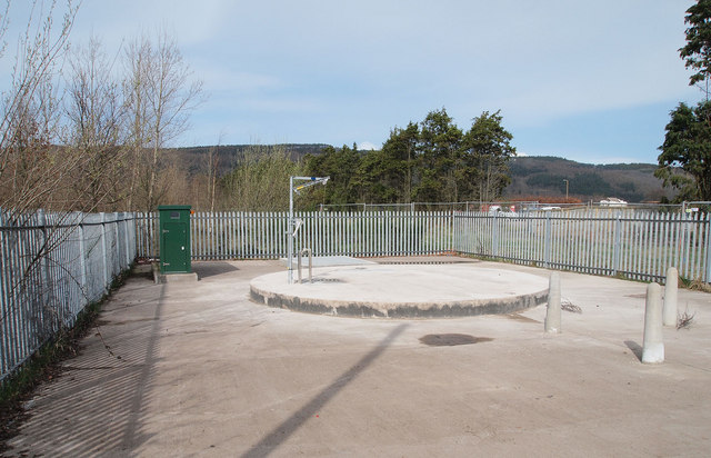
Image: © Rob Burke Taken: 5 Apr 2011
This enclosed area is too new to have a sign, but the general appearance suggests it has something to do with waste water management for the new development planned at Oudenarde.
Images are licensed for reuse under creativecommons.org/licenses/by-sa/2.0
Image Location
Latitude
56.346037
Longitude
-3.395505