Staverton: fields above the A38 Trunk Road
Introduction
The photograph on this page of Staverton: fields above the A38 Trunk Road by Martin Bodman as part of the Geograph project.
The Geograph project started in 2005 with the aim of publishing, organising and preserving representative images for every square kilometre of Great Britain, Ireland and the Isle of Man.

There are currently over 7.5m images from over 14,400 individuals and you can help contribute to the project by visiting https://www.geograph.org.uk
Staverton: fields above the A38 Trunk Road
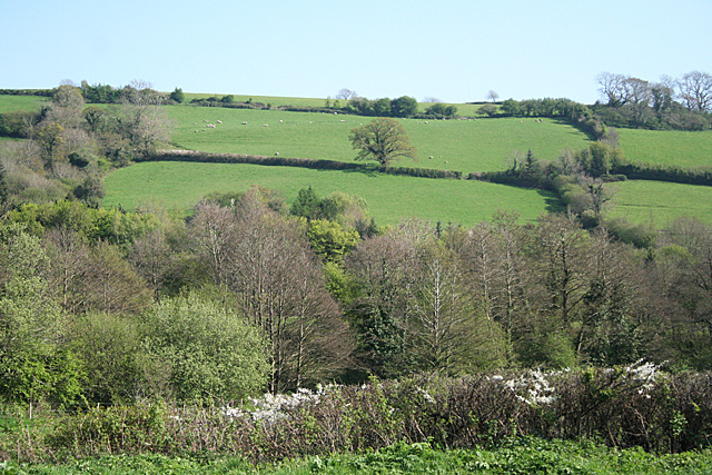
Image: © Martin Bodman Taken: 18 Apr 2011
The Exeter-Plymouth highway is screened by the trees at the foot of the valley. Seen from the car park at the Dartmoor Lodge Hotel
Images are licensed for reuse under creativecommons.org/licenses/by-sa/2.0
Image Location
Latitude
50.505468
Longitude
-3.76197