Blackawton: Main Street detail
Introduction
The photograph on this page of Blackawton: Main Street detail by Martin Bodman as part of the Geograph project.
The Geograph project started in 2005 with the aim of publishing, organising and preserving representative images for every square kilometre of Great Britain, Ireland and the Isle of Man.

There are currently over 7.5m images from over 14,400 individuals and you can help contribute to the project by visiting https://www.geograph.org.uk
Blackawton: Main Street detail
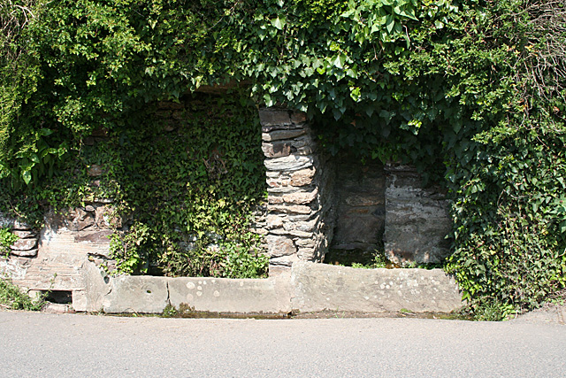
Image: © Martin Bodman Taken: 18 Apr 2011
Dipping well or drinking trough for horses?
Images are licensed for reuse under creativecommons.org/licenses/by-sa/2.0
Image Location


Leaflet Map data © OpenStreetMap
Latitude
50.346677
Longitude
-3.680185