Ditchling Common
Introduction
The photograph on this page of Ditchling Common by Simon Carey as part of the Geograph project.
The Geograph project started in 2005 with the aim of publishing, organising and preserving representative images for every square kilometre of Great Britain, Ireland and the Isle of Man.

There are currently over 7.5m images from over 14,400 individuals and you can help contribute to the project by visiting https://www.geograph.org.uk
Ditchling Common
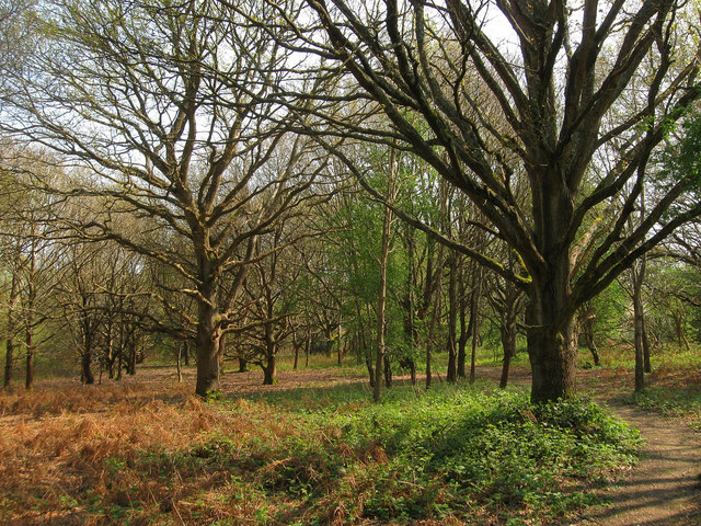
Image: © Simon Carey Taken: 17 Apr 2011
A small wooded section that lies between the Ditchling-Wivelsfield parish boundary to the west, Janes Lane to the south and the B2112 to the east. The path on the right links Janes Lane to the Royal Oak public house.
Images are licensed for reuse under creativecommons.org/licenses/by-sa/2.0
Image Location
Latitude
50.96008
Longitude
-0.099315