Bridge over the M80
Introduction
The photograph on this page of Bridge over the M80 by Robert Murray as part of the Geograph project.
The Geograph project started in 2005 with the aim of publishing, organising and preserving representative images for every square kilometre of Great Britain, Ireland and the Isle of Man.

There are currently over 7.5m images from over 14,400 individuals and you can help contribute to the project by visiting https://www.geograph.org.uk
Bridge over the M80
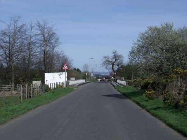
Image: © Robert Murray Taken: 17 Apr 2011
Heading into Head of Muir - or at least the kinda no mans land between it and the southern outskirts of Denny. Housing developments tend to spread into areas with no real place-name.
Images are licensed for reuse under creativecommons.org/licenses/by-sa/2.0
Image Location
Latitude
56.007868
Longitude
-3.919702