East End Road
Introduction
The photograph on this page of East End Road by Martin Addison as part of the Geograph project.
The Geograph project started in 2005 with the aim of publishing, organising and preserving representative images for every square kilometre of Great Britain, Ireland and the Isle of Man.

There are currently over 7.5m images from over 14,400 individuals and you can help contribute to the project by visiting https://www.geograph.org.uk
East End Road
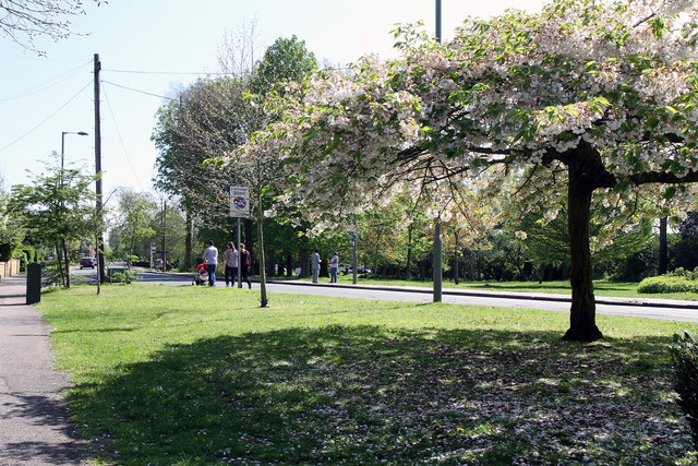
Image: © Martin Addison Taken: 10 Apr 2011
These two open areas of common land have survived the suburbanisation of the area to provide space for people to walk their dogs or just enjoy walking on the grass. Sheep were grazed here as recently as the 1930's.
Images are licensed for reuse under creativecommons.org/licenses/by-sa/2.0
Image Location
Latitude
51.591005
Longitude
-0.174239