Gravel Hole, Alderholt Common
Introduction
The photograph on this page of Gravel Hole, Alderholt Common by Lorraine and Keith Bowdler as part of the Geograph project.
The Geograph project started in 2005 with the aim of publishing, organising and preserving representative images for every square kilometre of Great Britain, Ireland and the Isle of Man.

There are currently over 7.5m images from over 14,400 individuals and you can help contribute to the project by visiting https://www.geograph.org.uk
Gravel Hole, Alderholt Common
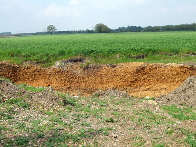
Image: © Lorraine and Keith Bowdler Taken: 17 Apr 2011
A hole had been dug, showing the depth of the gravel under this farmland.
Images are licensed for reuse under creativecommons.org/licenses/by-sa/2.0
Image Location
Latitude
50.899256
Longitude
-1.831442