Garendon Park boundary wall
Introduction
The photograph on this page of Garendon Park boundary wall by Alan Murray-Rust as part of the Geograph project.
The Geograph project started in 2005 with the aim of publishing, organising and preserving representative images for every square kilometre of Great Britain, Ireland and the Isle of Man.

There are currently over 7.5m images from over 14,400 individuals and you can help contribute to the project by visiting https://www.geograph.org.uk
Garendon Park boundary wall
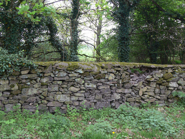
Image: © Alan Murray-Rust Taken: 16 Apr 2011
An unusual style of drystone walling with a random mix of sizes. Like many estate boundary walls, this one is in a decaying condition.
Images are licensed for reuse under creativecommons.org/licenses/by-sa/2.0
Image Location
Latitude
52.776022
Longitude
-1.249424