Gaer Road, Newport
Introduction
The photograph on this page of Gaer Road, Newport by Robin Drayton as part of the Geograph project.
The Geograph project started in 2005 with the aim of publishing, organising and preserving representative images for every square kilometre of Great Britain, Ireland and the Isle of Man.

There are currently over 7.5m images from over 14,400 individuals and you can help contribute to the project by visiting https://www.geograph.org.uk
Gaer Road, Newport
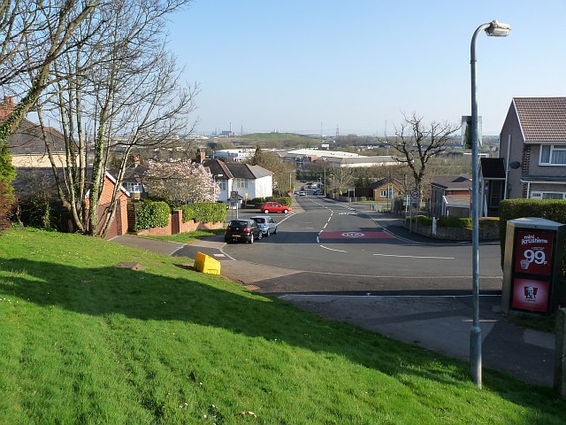
Image: © Robin Drayton Taken: 23 Mar 2011
The view down Gaer Road towards the junction with Cardiff Road at the bottom of the hill. The present day Gaer Road follows the route of the original farm track from the lodge on Cardiff Road http://www.geograph.org.uk/photo/687505 to Gaer Fach farmhouse (now the Gaer Inn http://www.geograph.org.uk/photo/537653 ). Part of this route, being rather steep, remains as a footpath http://www.geograph.org.uk/photo/2364139 .
Images are licensed for reuse under creativecommons.org/licenses/by-sa/2.0
Image Location
Latitude
51.574784
Longitude
-3.013512