Valebridge Road, World's End
Introduction
The photograph on this page of Valebridge Road, World's End by Simon Carey as part of the Geograph project.
The Geograph project started in 2005 with the aim of publishing, organising and preserving representative images for every square kilometre of Great Britain, Ireland and the Isle of Man.

There are currently over 7.5m images from over 14,400 individuals and you can help contribute to the project by visiting https://www.geograph.org.uk
Valebridge Road, World's End
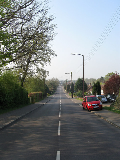
Image: © Simon Carey Taken: 17 Apr 2011
The road has its origins as an old droveway that ran from Keymer village north to the great common on Haywards Heath. At this point it ran through Valebridge Common part of which survives as Bedelands Nature Reserve. The common was enclosed in 1828 and the road was straightened though development had to wait until the sale of Theobalds estate in 1920 for the houses either side to be built.
Images are licensed for reuse under creativecommons.org/licenses/by-sa/2.0
Image Location
Latitude
50.966862
Longitude
-0.118265