Hawridge Common
Introduction
The photograph on this page of Hawridge Common by David Purchase as part of the Geograph project.
The Geograph project started in 2005 with the aim of publishing, organising and preserving representative images for every square kilometre of Great Britain, Ireland and the Isle of Man.

There are currently over 7.5m images from over 14,400 individuals and you can help contribute to the project by visiting https://www.geograph.org.uk
Hawridge Common
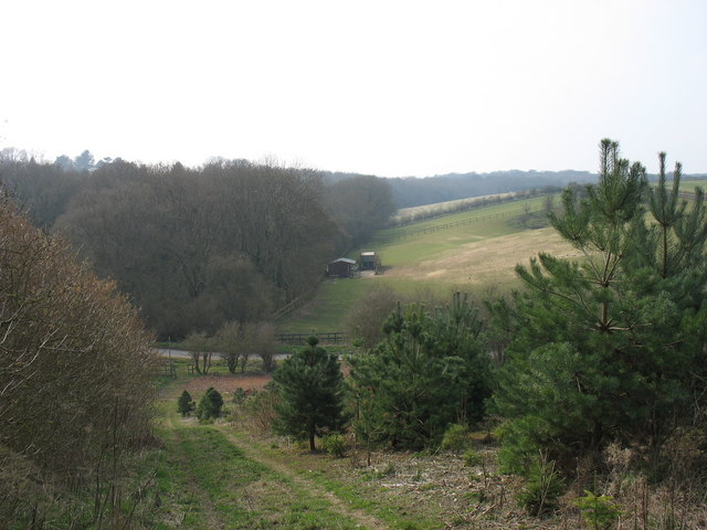
Image: © David Purchase Taken: 25 Mar 2011
Although named Hawridge Common, the land appears to be mainly agricultural and not common land at all - though the woods beyond the minor road may be.
Images are licensed for reuse under creativecommons.org/licenses/by-sa/2.0
Image Location
Latitude
51.752865
Longitude
-0.635298