The Griggs
Introduction
The photograph on this page of The Griggs by Simon Carey as part of the Geograph project.
The Geograph project started in 2005 with the aim of publishing, organising and preserving representative images for every square kilometre of Great Britain, Ireland and the Isle of Man.

There are currently over 7.5m images from over 14,400 individuals and you can help contribute to the project by visiting https://www.geograph.org.uk
The Griggs
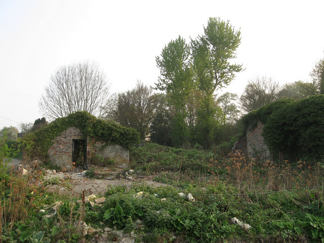
Image: © Simon Carey Taken: 17 Apr 2011
The ruins of a former farm lie next to the footpath that links Lunce's Common to Wivelsfield.
Images are licensed for reuse under creativecommons.org/licenses/by-sa/2.0
Image Location
Latitude
50.976942
Longitude
-0.09649