Sneinton Hollows
Introduction
The photograph on this page of Sneinton Hollows by John Sutton as part of the Geograph project.
The Geograph project started in 2005 with the aim of publishing, organising and preserving representative images for every square kilometre of Great Britain, Ireland and the Isle of Man.

There are currently over 7.5m images from over 14,400 individuals and you can help contribute to the project by visiting https://www.geograph.org.uk
Sneinton Hollows
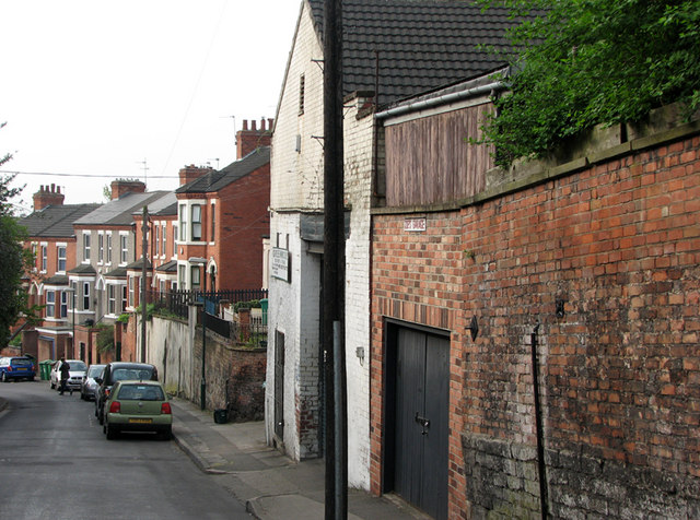
Image: © John Sutton Taken: 15 Apr 2011
This street, one of many dating from the expansion of the area after Sneinton became part of the Borough of Nottingham in 1877, is seen from the corner of Sneinton Dale.
Images are licensed for reuse under creativecommons.org/licenses/by-sa/2.0
Image Location
Latitude
52.950411
Longitude
-1.129423