High Street from The Quadrant
Introduction
The photograph on this page of High Street from The Quadrant by Hugh Craddock as part of the Geograph project.
The Geograph project started in 2005 with the aim of publishing, organising and preserving representative images for every square kilometre of Great Britain, Ireland and the Isle of Man.

There are currently over 7.5m images from over 14,400 individuals and you can help contribute to the project by visiting https://www.geograph.org.uk
High Street from The Quadrant
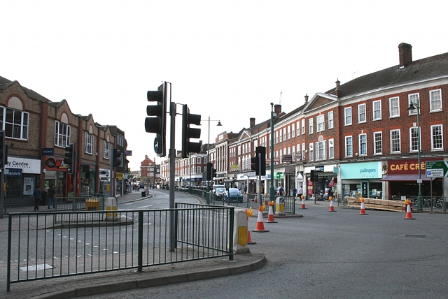
Image: © Hugh Craddock Taken: 17 Apr 2011
Looking west along the High Street from The Quadrant: the junction between High Street, East Street, Upper High Street and Church Street. To the right is East Street railway bridge (which was closed during the Easter holidays for replacement). The High Street was widened in the 1930s, and all of the buildings seen in this Francis Frith photo dating from 1907 have been demolished: http://www.francisfrith.com/epsom/photos/high-street-1907_58596/ and http://www.geograph.org.uk/stuff/frith.php?id=2361584 .
Images are licensed for reuse under creativecommons.org/licenses/by-sa/2.0
Image Location
Latitude
51.334058
Longitude
-0.264484