High Street from the Spread Eagle
Introduction
The photograph on this page of High Street from the Spread Eagle by Hugh Craddock as part of the Geograph project.
The Geograph project started in 2005 with the aim of publishing, organising and preserving representative images for every square kilometre of Great Britain, Ireland and the Isle of Man.

There are currently over 7.5m images from over 14,400 individuals and you can help contribute to the project by visiting https://www.geograph.org.uk
High Street from the Spread Eagle
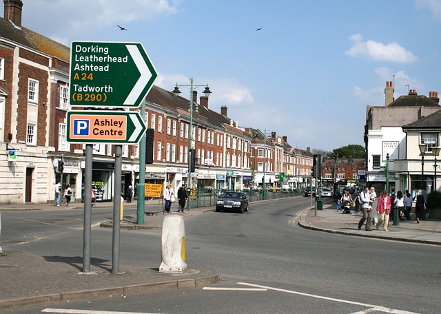
Image: © Hugh Craddock Taken: 17 Apr 2011
Looking east along the High Street from the crossroads at the Spread Eagle (Image). Not a great deal has changed since this Francis Frith photo was taken around 1960: http://www.francisfrith.com/epsom/photos/high-street-c1960_e37122/ and http://www.geograph.org.uk/stuff/frith.php?id=2361540 , except the insertion of a traffic island and direction sign in the foreground.
Images are licensed for reuse under creativecommons.org/licenses/by-sa/2.0
Image Location
Latitude
51.333895
Longitude
-0.265638