Winterbourne Abbas, South Winterborne
Introduction
The photograph on this page of Winterbourne Abbas, South Winterborne by Mike Faherty as part of the Geograph project.
The Geograph project started in 2005 with the aim of publishing, organising and preserving representative images for every square kilometre of Great Britain, Ireland and the Isle of Man.

There are currently over 7.5m images from over 14,400 individuals and you can help contribute to the project by visiting https://www.geograph.org.uk
Winterbourne Abbas, South Winterborne
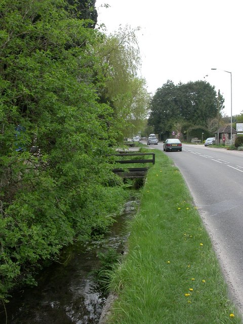
Image: © Mike Faherty Taken: 16 Apr 2011
Looking upstream, close to its source. As the name implies, winterbournes often only flow in the winter months, fed by aquifers that are dry in summer. Villages in this valley spell their name with "u"; this river spells it without "u", and the phenomenon with "u".
Images are licensed for reuse under creativecommons.org/licenses/by-sa/2.0
Image Location
Latitude
50.712874
Longitude
-2.541138