Top end of Maryon Wilson Park
Introduction
The photograph on this page of Top end of Maryon Wilson Park by Marathon as part of the Geograph project.
The Geograph project started in 2005 with the aim of publishing, organising and preserving representative images for every square kilometre of Great Britain, Ireland and the Isle of Man.

There are currently over 7.5m images from over 14,400 individuals and you can help contribute to the project by visiting https://www.geograph.org.uk
Top end of Maryon Wilson Park
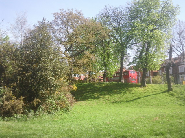
Image: © Marathon Taken: 7 Apr 2011
The Green Chain Walk climbs steadily from the Thames through Maryon Park and then Maryon Wilson Park to reach the exit opposite Cemetery Lane. This view looks up the last part of the park to where a bus waits at the stop in Littleheath.
Images are licensed for reuse under creativecommons.org/licenses/by-sa/2.0
Image Location
Latitude
51.482278
Longitude
0.046323