Eldon Street
Introduction
The photograph on this page of Eldon Street by Thomas Nugent as part of the Geograph project.
The Geograph project started in 2005 with the aim of publishing, organising and preserving representative images for every square kilometre of Great Britain, Ireland and the Isle of Man.

There are currently over 7.5m images from over 14,400 individuals and you can help contribute to the project by visiting https://www.geograph.org.uk
Eldon Street
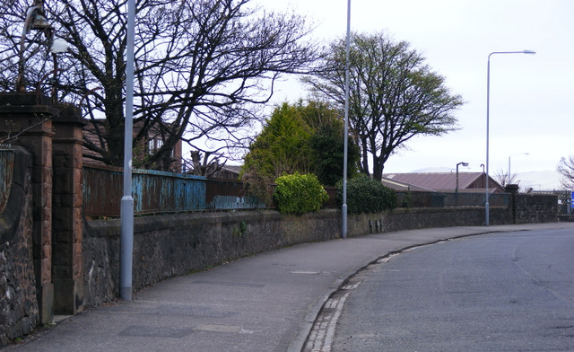
Image: © Thomas Nugent Taken: 8 Apr 2011
The wall and railings on the left surround the site if the former Fort Matilda torpedo factory, the east end of which was cleared for housing in the mid 1980s. The gate is no longer in use.
Images are licensed for reuse under creativecommons.org/licenses/by-sa/2.0
Image Location
Latitude
55.961769
Longitude
-4.793382