Cullompton: towards St Andrew's Hill
Introduction
The photograph on this page of Cullompton: towards St Andrew's Hill by Martin Bodman as part of the Geograph project.
The Geograph project started in 2005 with the aim of publishing, organising and preserving representative images for every square kilometre of Great Britain, Ireland and the Isle of Man.

There are currently over 7.5m images from over 14,400 individuals and you can help contribute to the project by visiting https://www.geograph.org.uk
Cullompton: towards St Andrew's Hill
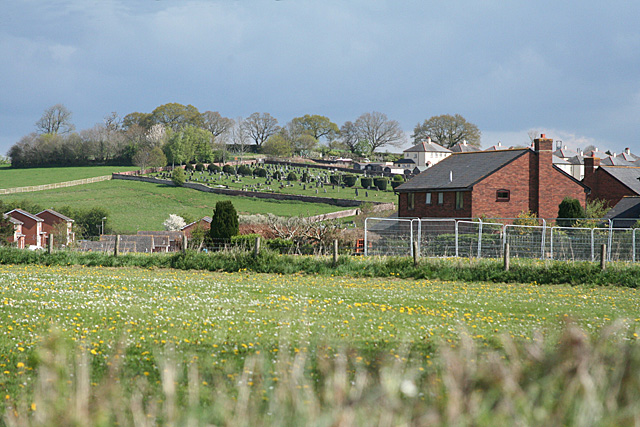
Image: © Martin Bodman Taken: 16 Apr 2011
The town's cemetery and local authority housing on the hill are close to and in one place slightly overlay the site of two Roman forts [one built largely on top of another] discovered here in 1984. The fencing in mid distance is part of the Kingfisher Reach housing development. This view will be unobtainable in a year or so's time
Images are licensed for reuse under creativecommons.org/licenses/by-sa/2.0
Image Location
Latitude
50.855688
Longitude
-3.403177