Remains of signalbox at Newbold
Introduction
The photograph on this page of Remains of signalbox at Newbold by Richard Green as part of the Geograph project.
The Geograph project started in 2005 with the aim of publishing, organising and preserving representative images for every square kilometre of Great Britain, Ireland and the Isle of Man.

There are currently over 7.5m images from over 14,400 individuals and you can help contribute to the project by visiting https://www.geograph.org.uk
Remains of signalbox at Newbold
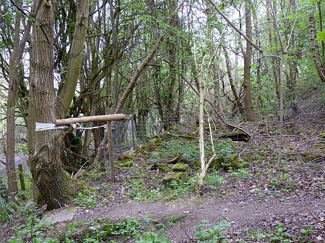
Image: © Richard Green Taken: 15 Apr 2011
These few scattered bricks are all that remains of the signal box controlling the junction to New Lount colliery at Newbold (Branch opened 1925, closed 1968). The remains of the concrete steps up to it are in the left foreground.
Images are licensed for reuse under creativecommons.org/licenses/by-sa/2.0
Image Location
Latitude
52.770193
Longitude
-1.411233