"The Bolling", Church Street, Malpas
Introduction
The photograph on this page of "The Bolling", Church Street, Malpas by Jim Osley as part of the Geograph project.
The Geograph project started in 2005 with the aim of publishing, organising and preserving representative images for every square kilometre of Great Britain, Ireland and the Isle of Man.

There are currently over 7.5m images from over 14,400 individuals and you can help contribute to the project by visiting https://www.geograph.org.uk
"The Bolling", Church Street, Malpas
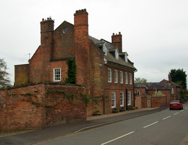
Image: © Jim Osley Taken: 13 Apr 2011
Early 18th century house, Grade II listed - for an architectural description visit this http://list.english-heritage.org.uk/resultsingle.aspx?uid=1130595
Images are licensed for reuse under creativecommons.org/licenses/by-sa/2.0
Image Location
Latitude
53.018558
Longitude
-2.768529