Houses beside the A39 south of Wembdon
Introduction
The photograph on this page of Houses beside the A39 south of Wembdon by David Smith as part of the Geograph project.
The Geograph project started in 2005 with the aim of publishing, organising and preserving representative images for every square kilometre of Great Britain, Ireland and the Isle of Man.

There are currently over 7.5m images from over 14,400 individuals and you can help contribute to the project by visiting https://www.geograph.org.uk
Houses beside the A39 south of Wembdon
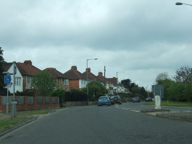
Image: © David Smith Taken: 14 Apr 2011
A cycle track emerges on the left, having been routed away from a busy roundabout
Images are licensed for reuse under creativecommons.org/licenses/by-sa/2.0
Image Location
Latitude
51.12805
Longitude
-3.025136