Green Road
Introduction
The photograph on this page of Green Road by Simon Carey as part of the Geograph project.
The Geograph project started in 2005 with the aim of publishing, organising and preserving representative images for every square kilometre of Great Britain, Ireland and the Isle of Man.

There are currently over 7.5m images from over 14,400 individuals and you can help contribute to the project by visiting https://www.geograph.org.uk
Green Road
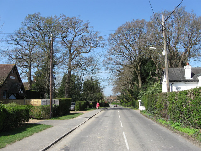
Image: © Simon Carey Taken: 10 Apr 2011
An old medieval route that linked a number of former commons along a long ridge of land now the main street of Wivelsfield Green whose houses straggle along it for a mile or so. The building on the left is The Old Reading Room built in 1912 and served as a village hall until the current one was opened in 1981. The sale of the building contributed to the costs of building the new hall and is now a private residence. To the right is Fanners Lodge most likely constructed when the current Fanners house was rebuilt in the 1850s on the site of a former Elizabethan manor.
Images are licensed for reuse under creativecommons.org/licenses/by-sa/2.0
Image Location


Leaflet Map data © OpenStreetMap
Latitude
50.964175
Longitude
-0.080207