Moor Lane, Copmanthorpe
Introduction
The photograph on this page of Moor Lane, Copmanthorpe by Chris Heaton as part of the Geograph project.
The Geograph project started in 2005 with the aim of publishing, organising and preserving representative images for every square kilometre of Great Britain, Ireland and the Isle of Man.

There are currently over 7.5m images from over 14,400 individuals and you can help contribute to the project by visiting https://www.geograph.org.uk
Moor Lane, Copmanthorpe
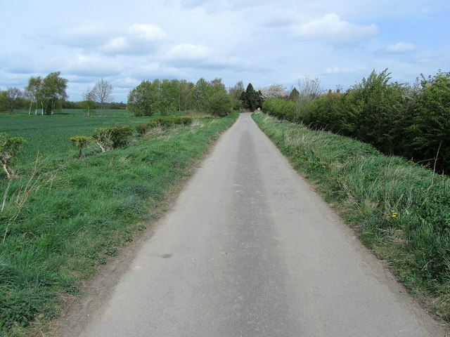
Image: © Chris Heaton Taken: 13 Apr 2011
Now a dead end or no through road. It stops at the railway lines, and further access is barred. There is another pedestrian crossing slightly further south with lights - this also has been sealed off for health and safety reasons, although the lights continue to function.
Images are licensed for reuse under creativecommons.org/licenses/by-sa/2.0
Image Location
Latitude
53.90918
Longitude
-1.145082