Stream near Redgate Mill Farm
Introduction
The photograph on this page of Stream near Redgate Mill Farm by Robin Webster as part of the Geograph project.
The Geograph project started in 2005 with the aim of publishing, organising and preserving representative images for every square kilometre of Great Britain, Ireland and the Isle of Man.

There are currently over 7.5m images from over 14,400 individuals and you can help contribute to the project by visiting https://www.geograph.org.uk
Stream near Redgate Mill Farm
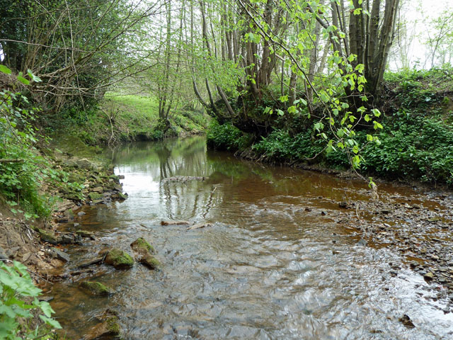
Image: © Robin Webster Taken: 14 Apr 2011
These waters, among others, become the Eridge Stream lower down and flow thence to the Medway, but maps are unhelpful on whether this particular branch has a name.
Images are licensed for reuse under creativecommons.org/licenses/by-sa/2.0
Image Location
Latitude
51.069378
Longitude
0.215619