Council Housing - Pinfold Grove
Introduction
The photograph on this page of Council Housing - Pinfold Grove by John M as part of the Geograph project.
The Geograph project started in 2005 with the aim of publishing, organising and preserving representative images for every square kilometre of Great Britain, Ireland and the Isle of Man.

There are currently over 7.5m images from over 14,400 individuals and you can help contribute to the project by visiting https://www.geograph.org.uk
Council Housing - Pinfold Grove
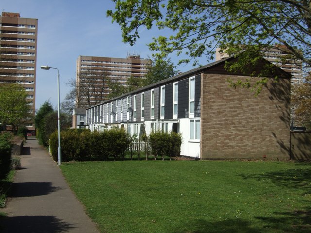
Image: © John M Taken: 9 Apr 2011
Low rise housing built in the shadow of the three high rise blocks at Merry Hill. This housing is similar to types in the new towns with pedestrian access to the front of the properties.
Images are licensed for reuse under creativecommons.org/licenses/by-sa/2.0
Image Location
Latitude
52.569175
Longitude
-2.168004