Pasture at Down Farm
Introduction
The photograph on this page of Pasture at Down Farm by Graham Horn as part of the Geograph project.
The Geograph project started in 2005 with the aim of publishing, organising and preserving representative images for every square kilometre of Great Britain, Ireland and the Isle of Man.

There are currently over 7.5m images from over 14,400 individuals and you can help contribute to the project by visiting https://www.geograph.org.uk
Pasture at Down Farm
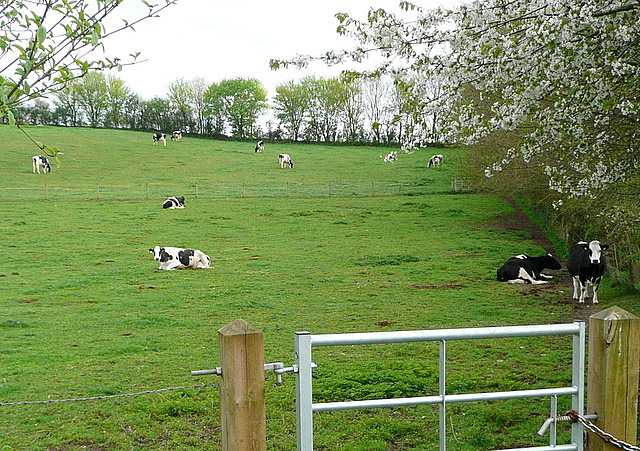
Image: © Graham Horn Taken: 11 Apr 2011
The countryside starts abruptly north of Springvale, and here the two dairy farms provide a very rural setting just 500 yards from dense housing.
Images are licensed for reuse under creativecommons.org/licenses/by-sa/2.0
Image Location


Leaflet Map data © OpenStreetMap
Latitude
51.107685
Longitude
-1.29718