Edge of the reeds, Malpas to Caerleon cycleway
Introduction
The photograph on this page of Edge of the reeds, Malpas to Caerleon cycleway by Jaggery as part of the Geograph project.
The Geograph project started in 2005 with the aim of publishing, organising and preserving representative images for every square kilometre of Great Britain, Ireland and the Isle of Man.

There are currently over 7.5m images from over 14,400 individuals and you can help contribute to the project by visiting https://www.geograph.org.uk
Edge of the reeds, Malpas to Caerleon cycleway
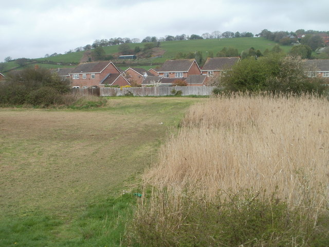
Image: © Jaggery Taken: 14 Apr 2011
On the Caerleon side of the cycleway and footpath from Malpas, there is a sharp dividing line between a 200-metre long area of reeds, and a grassy area.
Images are licensed for reuse under creativecommons.org/licenses/by-sa/2.0
Image Location
Latitude
51.609233
Longitude
-2.980486